What this ride actually is
Cairns to the tip of Cape York is the most ambitious ride in Queensland and the one most often sold as a tour. It does not need to be. It does need to be planned as an expedition rather than a road trip, because beyond a certain point the peninsula stops being a highway with towns on it.
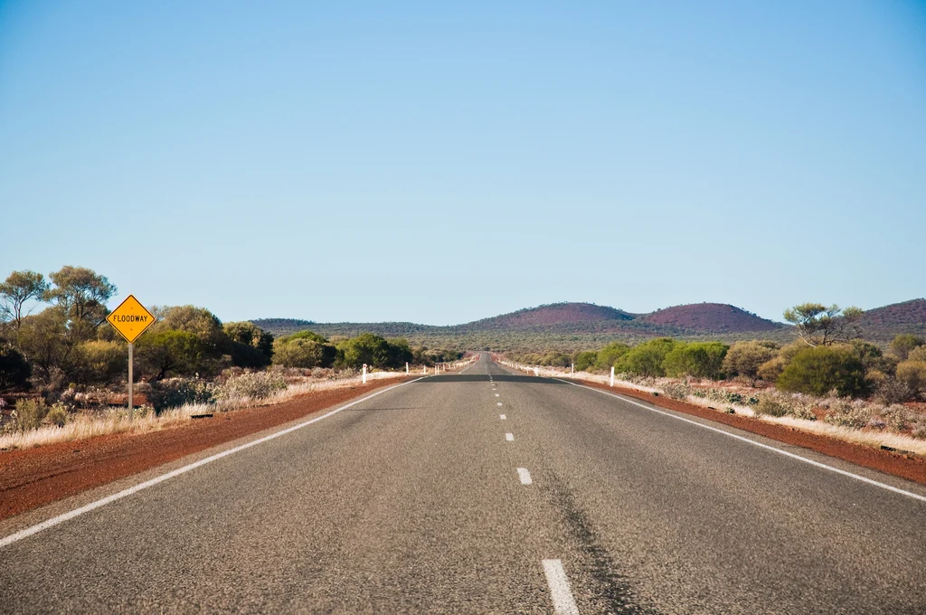
The route north is the Peninsula Developmental Road, and the character changes at Laura. South of it you are on a road with a surface and a schedule; north of it the road is a working track that is graded, corrugated, flooded and closed according to the season, and the creeks are crossings rather than bridges.
The other thing to understand before planning is the scale of what is up there. Kutini-Payamu (Iron Range) National Park, on the east coast of the peninsula, sits 752 kilometres north of Cairns via the Peninsula Developmental Road and is accessible by 4WD only. That single line tells you most of what the second half of the trip is like.
This is a wet-season-closed route. The peninsula road and its creek crossings are not rideable through the monsoon, and the season, not the calendar in your head, decides when the trip happens.
The sealed half: Cairns to Laura
The first part of the trip is the easy part, and it is easy in a way that can mislead. The road north through Mareeba and Mount Molloy is good, the Atherton Tablelands are close by, and the country is open woodland rather than rainforest.
This is where the trip should be slowed down deliberately. The tablelands and the Daintree are worth days on their own, and a rider who blasts through them to save time for the dirt has saved time in the wrong place.
The climbing roads out of Cairns that start this trip — the Kuranda and Gillies ranges and the run across the Atherton Tablelands — are covered in rides out of Cairns, along with the wet-season timing that decides when you can leave.
- Mareeba and Mount Molloy: the last straightforward fuel stops on the inland road north.
- The Atherton Tablelands: a detour worth taking, with the Gillies and Kuranda ranges as the riding.
- The Daintree and Cape Tribulation: sealed access, and a separate ride in its own right.
- Laura: the last real settlement before the road turns into a track.
The dirt half, and what it asks
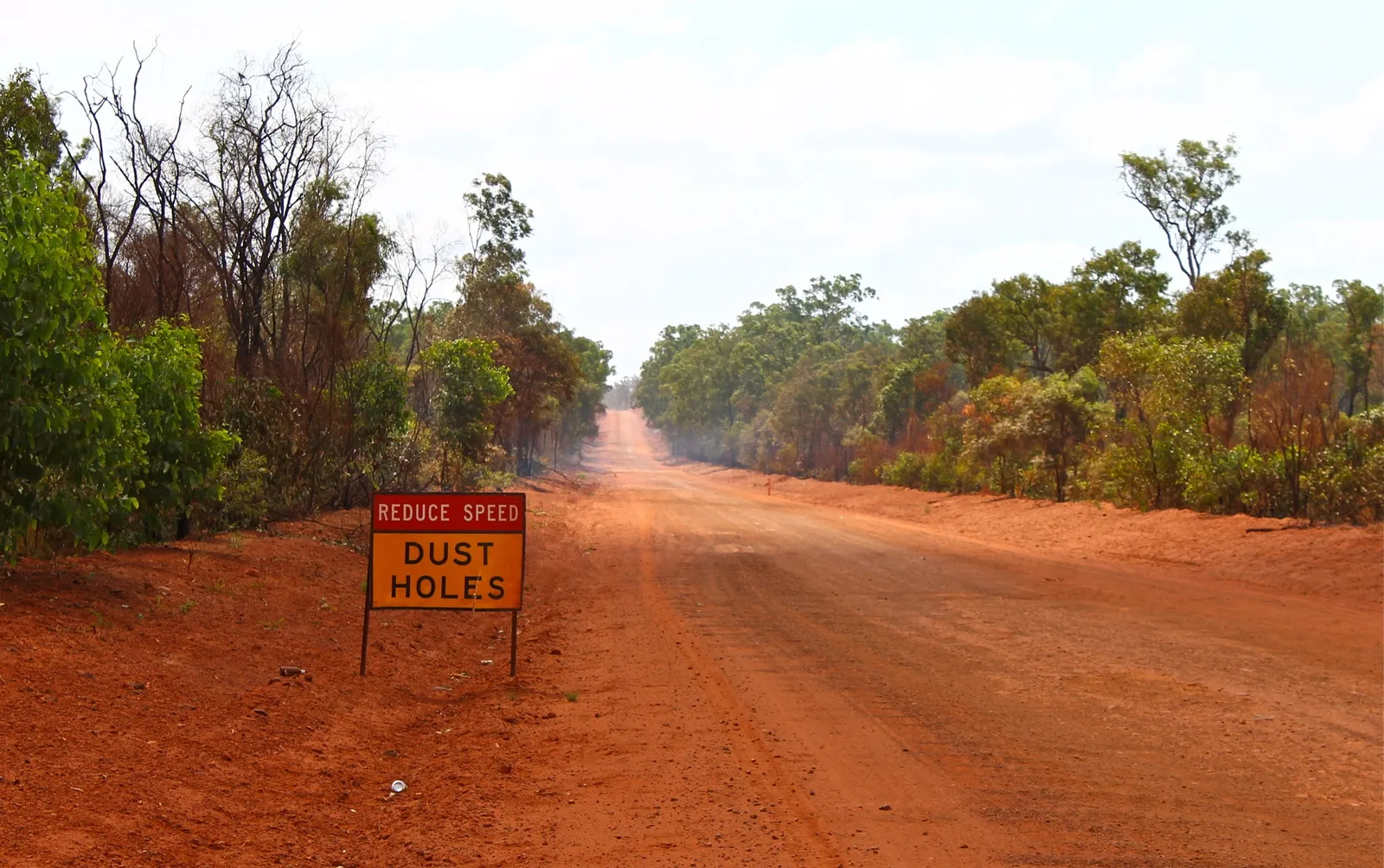
North of Laura the road is unsealed for long stretches, and the surface is the whole conversation. Corrugations form in the dry and shake a bike apart; bulldust hides holes; and the creek crossings that are dry in September are impassable in February.
The parks on the peninsula are managed for 4WD access and require vehicle access permits in the areas where camping and day use are allowed. Kutini-Payamu and Jardine River are both listed as 4WD access, which is the management agency telling you what the road expects rather than a suggestion about vehicle choice.
Riders do this on adventure bikes, and it is done every season. What separates a good trip from a bad one is not the bike but the willingness to turn around, the tyre choice, and the amount of water carried.
- Vehicle access permits are required for the national park areas where you camp or stop.
- Corrugations and bulldust are the two surface problems that cause most damage to bikes and riders.
- Creek crossings are the hard constraint: they decide whether the trip is possible on a given week.
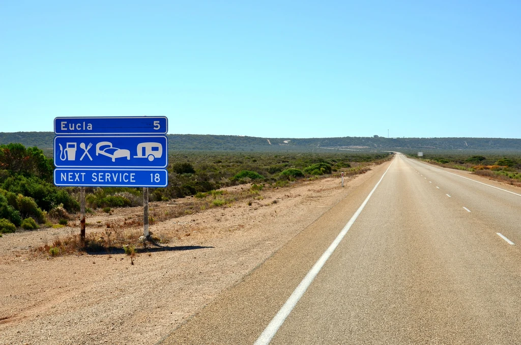
- Fuel range planning is not optional past Laura; the gaps are the planning problem.
Permits, camping and the booking reality
The camping on the peninsula is booked rather than found. Queensland's park camping is booked through the parks service, and the popular areas fill in the dry season, which means the trip has a booking deadline whether or not you want one.
Vehicle access permits are a separate requirement from the camping booking in the areas that need them, and they are issued by the managing agency rather than at a gate. Read the requirements for each park you intend to stop in rather than assuming one permit covers the peninsula.
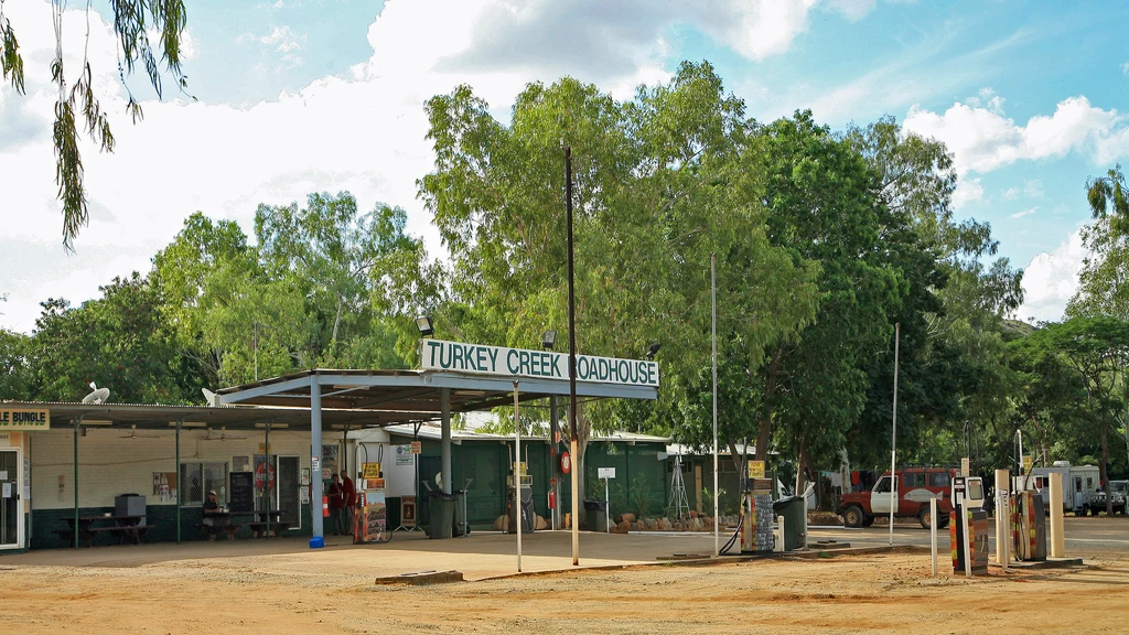
The same applies to the private campgrounds and roadhouses along the way: in the dry season they are busy, and a rider arriving at dusk without a booking is relying on luck.
- Book park camping through the Queensland parks service before the trip, not during it.
- Check whether each park you plan to enter needs a separate vehicle access permit.
- Book roadhouse and private campground nights in the dry season.
- Carry the paperwork: a permit you cannot produce is the same as one you do not have.
When it is rideable
The peninsula has two seasons and only one of them works. The dry season is the riding season, and the wet closes the road, floods the crossings and shuts the parks.
The practical consequence is that the whole trip has to be scheduled, not improvised. That is also why the route is so heavily tour-operated: a fixed date, a support vehicle and a booked itinerary remove the two things that make the peninsula hard, which are uncertainty about the road and uncertainty about where you sleep.
Riding it independently is a reasonable ambition and a genuinely different experience. It just requires accepting that the weather and the road have the final say, and building in the days to wait.
| Season | The road | The trip |
|---|---|---|
| Dry season | Graded, corrugated, crossings low | The riding window; book everything ahead |
| Build-up | Hot, storms, road deteriorating | Possible early, risky late; check crossings daily |
| Wet season | Flooded, closed, parks shut | Not rideable; the season ends the trip |
Riding it as part of a bigger trip
Most riders reach Cairns from somewhere else, and the approach matters. The ride up the Queensland coast is its own trip, and doing it in the same fortnight as the peninsula is how a good plan becomes a rushed one.
The sensible shape is to treat Cairns as a staging point rather than a starting line: arrive, service the bike, sort the permits and the food, and give the peninsula its own block of days. The state guide covers the roads south of Cairns if you are building the approach.
If the plan is a family trip with the bikes on a trailer rather than a ride, a campervan picked up in Cairns is the vehicle most people use for the peninsula, and it is a different calculation: more comfort, fewer creek crossings you can take on.
- Service the bike in Cairns before the peninsula, not on the way back.
- Give the peninsula its own days rather than bolting it onto a coastal run.
- Sort permits and camping bookings before you leave Cairns.
- Plan the return: the ride south is long, and the temptation to rush it is real.
Questions riders ask
Can you ride to Cape York on a motorcycle?
Yes, in the dry season. The road north of Laura is unsealed and includes creek crossings, and the parks along the peninsula are managed for 4WD access with vehicle permits required in some areas.
Do I need permits for Cape York national parks?
Yes. Camping is booked through the Queensland parks service, and some areas require a separate vehicle access permit issued by the managing agency rather than at a gate.
When is the peninsula road open?
In the dry season. The wet season floods the crossings and closes the road and parks, so the trip has to be scheduled around the season rather than improvised.
How far is Kutini-Payamu from Cairns?
The Queensland parks service lists it as 752 kilometres north of Cairns via the Peninsula Developmental Road, accessible by 4WD only.
Sources
- Queensland Parks — Kutini-Payamu (Iron Range) National Park — parks.desi.qld.gov.au
- Queensland Parks — Jardine River National Park(parks.desi.qld.gov.au)
- Queensland Parks — Rinyirru (Lakefield) National Park (CYPAL)(parks.desi.qld.gov.au)
- QLDTraffic — road condition information(qldtraffic.qld.gov.au)