Starting from Perth
Almost every Western Australian ride starts in Perth, and the state's own road guide is a useful ruler for what that means. The guide's distance tables put Margaret River 265 kilometres from Perth on the Kwinana Freeway, Forrest Highway and Bussell Highway, and Albany 413 kilometres away on Albany Highway. Which ride you get depends on how far you are willing to go from the city, and rides out of the Perth Hills covers the short loops first.
Both are comfortable single days, and both are the gateway to very different country: the tall timber and wine country of the south-west, and the granite and wildflower country of the Great Southern.
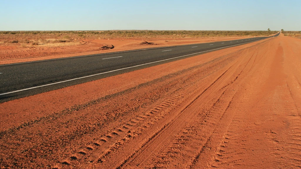
The state's road network is enormous and its roadhouses are few, so Main Roads' own warning applies from the first day: in remote areas, fuel stops can be hundreds of kilometres apart.
Caves Road and Margaret River
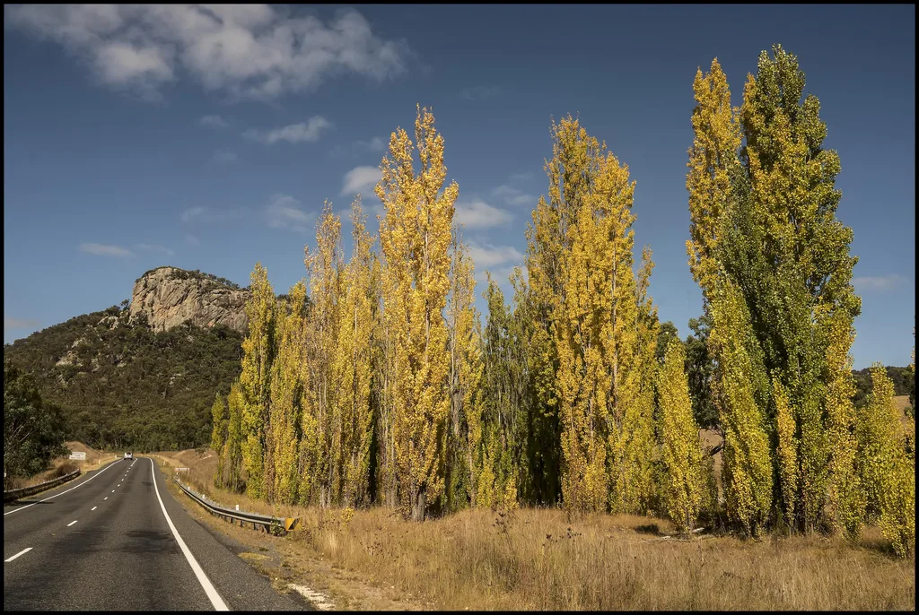
Caves Road runs between Yallingup and Augusta, and Main Roads has been consulting on its safety since 2018 under a community working group drawn from the City of Busselton and the Shire of Augusta Margaret River. The road carries tourist traffic, caravans and trucks as well as locals, which is why sightlines and intersection treatments are the recurring themes of that work.
Vegetation maintenance along the Yallingup to Augusta stretch is ongoing, with pruning to open sightlines, monitoring of dead and dangerous trees, and weed removal. Traffic management, including speed reductions and Stop-Go signs, is used while that work happens.
- Expect short speed reductions and traffic controllers on Caves Road while maintenance is under way.
- The Margaret River district is wine country, so expect tourist traffic mixing with local and commercial vehicles on a road that was not built for volume.
- South-west weather moves through quickly. Wet roads under forest canopy stay wet well after the rain stops.
Albany and the Great Southern
Albany sits at the end of the Albany Highway and marks the change from farmland to the south coast proper, with the Southern Ocean on one side and the hinterland behind it. From Perth the road guide's table lists it at 413 kilometres, which makes it a natural first overnight stop for a longer south coast run.
Beyond Albany the riding turns coastal and the weather turns serious. Winds, rain and salt air are part of the day, and the coast road asks more of a rider than the inland highway that brought you there.
Albany is the point where the inland highway pace ends and the coast begins, so plan the day around the coast rather than the kilometres you covered getting there.
Esperance and the Nullarbor run
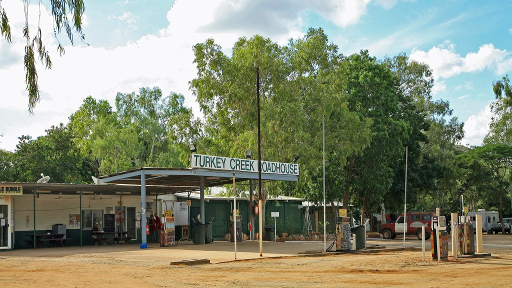
If you are heading east towards the Nullarbor, the Eyre Highway is the decision point. Main Roads lists the Norseman to Eucla stretch at 709 kilometres, with roadhouses spaced along it, and those roadhouses are the whole plan for the day.
Distances in the state guide are measured to the roadhouse, not to the horizon, which is why the table below is worth writing down before you leave Norseman. Treat the Nullarbor approach as an outback problem rather than a highway one; fuel, water and range planning is the relevant reading.
| Roadhouse | Distance from Norseman |
|---|---|
| Balladonia | 190 km |
| Caiguna | 371 km |
| Cocklebiddy | 436 km |
| Madura | 527 km |
| Mundrabilla | 643 km |
| Eucla | 709 km |
The Pilbara coast road
The North West Coastal Highway between Carnarvon and Port Hedland is the long, hot, flat ride that defines the Pilbara for most visitors, and the map is dotted with side roads running inland to mining towns. The state guide lists Nanutarra Road at 268 kilometres to Tom Price, Onslow Road at 79 kilometres to Onslow, and Pannawonica Road at 46 kilometres to Pannawonica.
Those inland spurs are where the country changes from coastal scrub to red rock and ranges, and they are also where a short side trip becomes a long day. Check the distance to the next fuel before you turn off, not after.
Karijini and the inland northwest
Karijini National Park sits in the Pilbara, and the access is mostly straightforward: Karijini Drive runs 30 kilometres to the park from the Nanutarra-Munjina road, and Hamersley Gorge now has sealed road access to the lower car park. Inside the park the attractions are gorges you walk down into, not roads you ride through, so the bike stays at the car park.
Heat and water are the two things to respect. Summer temperatures frequently top 40 degrees, gorge pools can be extremely cold between April and September, and flash flooding is possible if there is rain anywhere in the area.
- Park entry fees apply, charged per vehicle at the standard rate.
- The park's own safety advice warns of blue asbestos in Yampire and Wittenoom gorges, so stay out of them.
- Dingoes are common around Dales Campground, and food left out attracts them.
- Do not enter a gorge if there is rain in the catchment, and leave immediately if it starts.
Camping in the park is bookable through the state parks system, and Dales Campground sits within the Dales Recreation Area on the park's eastern side.
Broome and the Gibb River Road
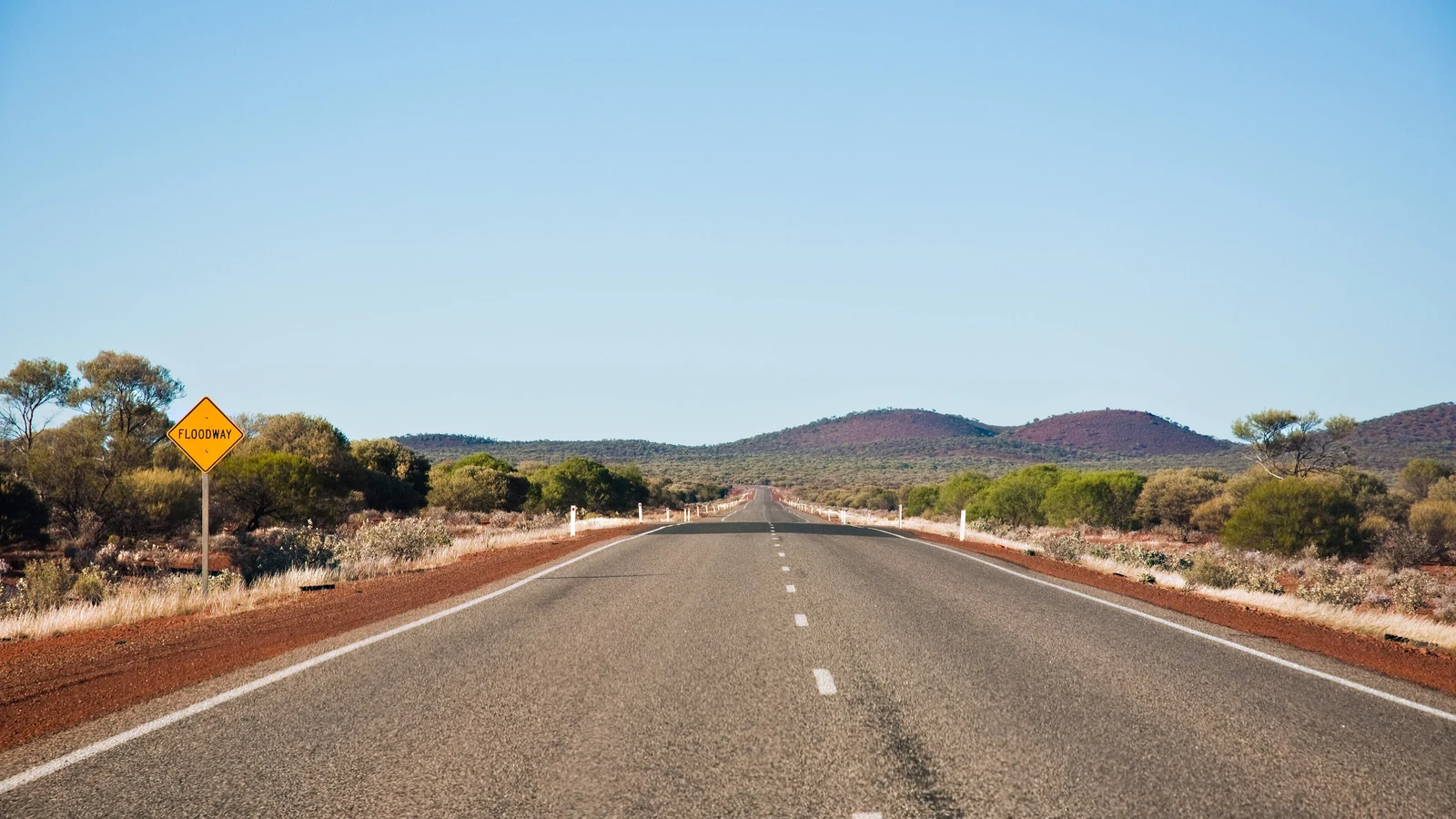
The Gibb River Road is 647 kilometres of mainly unsealed road between Derby and Kununurra, and Main Roads is blunt about it. Roughly 470 kilometres, between the Lennard River and the Pentecost River, is unsealed, with heavy corrugations, loose gravel, potholes and rock. The sealed sections are short and increasingly isolated as the department works through its sealing program. The Gibb is a season-dependent road, and when to ride, region by region explains which months leave it open.
It is often closed through the wet season, generally December to April, when river crossings become impassable or the surface is damaged. It typically opens during the dry season from May to November, and it is graded three to four times a year, with a full grade taking up to two months. The Pentecost River is the major crossing, and Main Roads notes that river levels can rise quickly and that crocodiles are a genuine consideration. Caravans, motorhomes and some camper trailers are not recommended on the unsealed sections.
If your Western Australian trip is a road trip rather than a ride, campervan hire out of Broome is a way to work the same coast and the same gorge country, with the caveat that the Gibb's river crossings and corrugations are a 4WD proposition rather than a two-wheel-drive one.
Main Roads publishes the current status on its Travel Map and on status boards at both ends of the road, near Derby and Kununurra. The side roads into the gorges and national parks are managed by other agencies, so they need checking separately.
Exmouth and the Cape Range peninsula
Exmouth sits on the North West Cape, and Cape Range National Park is the riding destination at the end of it. The park forms part of the Ningaloo Coast World Heritage Area, with the limestone range on one side and the reef on the other.
The Charles Knife Canyon drive climbs from the main road south of Exmouth to the top of the range and Charles Knife Lookout, while Shothole Canyon is reached on an unsealed road along the bottom of a spectacular gorge. That sealed climb and unsealed canyon run are the two polar ends of riding on the cape.
- Minilya-Exmouth Road is listed at 215 kilometres to Exmouth and 90 kilometres to Coral Bay, so the last leg needs planning.
- Temperatures can pass 45 degrees in summer, and the park advises walking only between April and September.
- Humpback whales pass the coast between May and October, which is also the comfortable riding window.
Questions riders ask
Do you need a permit to travel the Gibb River Road?
The Gibb River Road itself is a public road, but Main Roads' guide to driving in Western Australia states that a permit is essential to travel through Aboriginal land, and many of the side trips and access roads north of the Kimberley cross that land. Permits are arranged through the Department of Planning, Lands and Heritage.
How much of the Gibb River Road is sealed?
Main Roads describes the road as 647 kilometres and mainly unsealed, with roughly 470 kilometres unsealed between the Lennard River and the Pentecost River. Short sealed sections exist and further sealing is ongoing.
When is the Gibb River Road open?
It is typically open during the dry season from May to November and is often closed through the wet season, generally December to April, when river crossings become impassable or the road surface is damaged.
What does it cost to enter Karijini National Park?
Park entry fees apply per vehicle at the standard rate, with a concession rate for eligible holders, and a valid parks pass covers the entry fee. Camping is booked separately.
Sources
- Main Roads Western Australia — Gibb River Road — mainroads.wa.gov.au
- Main Roads Western Australia — Driving in WA: a guide to safe stopping places (PDF)(mainroads.wa.gov.au)
- Main Roads Western Australia — Caves Road Safety Improvements(mainroads.wa.gov.au)
- Explore Parks WA (DBCA) — Karijini National Park(exploreparks.dbca.wa.gov.au)
- Explore Parks WA (DBCA) — Cape Range National Park(exploreparks.dbca.wa.gov.au)