The coastal route at a glance
The Princes Highway links Sydney and the Illawarra with the South Coast and on into Gippsland, and Transport for NSW describes it as a scenic alternative to the Hume Highway. It is also, by the department's own account, a popular motorcycling route, and the reason is obvious once you are on it: the road keeps finding the water.
The New South Wales section alone is just over 422 kilometres, running from the southern end of the M1 at Yallah, about 20 kilometres south of Wollongong, to the Victorian border south of Eden. That is the part worth planning carefully, because the limit changes constantly.
| Where | Speed limit |
|---|---|
| Rural sections generally | 100 km/h |
| Kiama Bends | Drops from 100 to 80 km/h through tight curves |
| Gerringong to Berry | 80 to 90 km/h on steep, winding alignment |
| Wandandian to Conjola | 2.5 km at 80 km/h through tight curves |
| Batemans Bay to Mogo | 90 km/h, steep with tight curves |
| North of Brogo | 90 km/h for four kilometres of winding road |
| North of Dignams Creek Road | 80 km/h on a 1.5 km section with a narrow bridge |
| Towns and villages | Generally 60 to 70 km/h, with 40 km/h school zones |
When the coast works best
There is no single best month for this road, but there is a best day of the week. Transport for NSW attributes peaks in corridor traffic to the urban centres and to holiday periods, and holiday traffic concentrates hardest in the towns that also happen to be the good stops.
The other timing factor is park opening. Royal National Park, which the first day runs through, opens at 7am and closes at 8.30pm and can close at short notice for fire danger or poor weather, so an early start gets you through it while the day is still cool.
- Midweek outside school holidays: the same road with far less traffic through Kiama, Batemans Bay and Narooma.
- Holiday periods: expect the towns that make the good stops to be the towns with the most traffic in them.
- Any day, early: the parks open at 7am, and the first hours are the quietest.
Royal National Park charges a per-vehicle entry fee, payable at the visitor centre, entry stations, machines or by app. Budget for it and do not assume a free pass-through.
Royal National Park to Wollongong
Leaving Sydney, the first proper stop is Royal National Park, established in 1879 and the second-oldest national park in the world. It covers 16,000 hectares within about an hour of the CBD and the same from Wollongong, and the road through it is a slow, shaded start to the day rather than a fast one.
From the park the highway drops off the escarpment into Wollongong, and that descent is the first real taste of what the next few hundred kilometres hold. The same park shows up in motorcycle rides in New South Wales, which covers it with the rest of the Sydney ring.
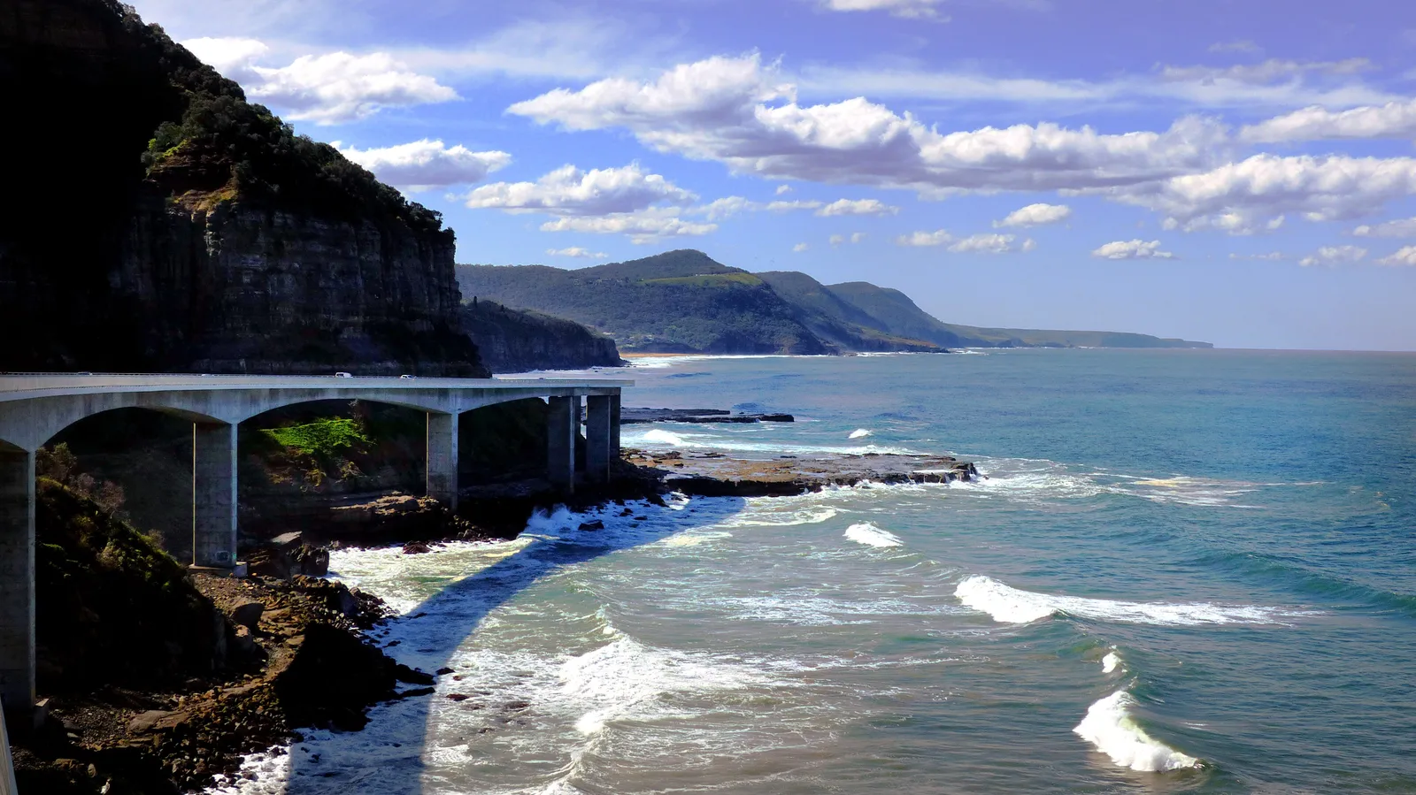
Past Coalcliff the road becomes Lawrence Hargrave Drive, and the Sea Cliff Bridge — opened in 2005 and now a landmark in its own right — carries it out over the water on a cantilever rather than cutting inland around the rockface.
Entry is charged per vehicle and the gates close in the evening, so an early start is both cooler and simpler.
Kiama, Jervis Bay and the Shoalhaven
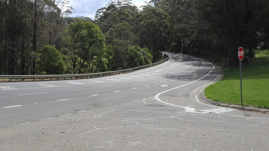
South of Wollongong the highway alternates between fast divided road and tight, slow corners, and the Kiama Bends are the first place it makes you work. From Kiama the coast road continues past Gerringong and Berry to Nowra and the Shoalhaven.
- Kiama Bends: the limit drops to 80 km/h through a run of tight curves, and it is where a lot of riders get caught out.
- Jervis Bay National Park, near Nowra, is always open and takes in Hyams Beach and its very white sand.
- Bomaderry, just north of the Shoalhaven River, is where the South Coast rail line ends, which is why the towns south of it feel further from Sydney than they are.
Which sections are worth the time
Not every kilometre of the Princes Highway is a good ride. The route works because the good sections are concentrated, and knowing where they are is what turns a long transit into a trip.
The approaches to Batemans Bay, the run down through Narooma and the last stretch to Eden carry the scenery. Between them the highway is doing its job as a highway: straight, wide and quick, with the towns spaced out and nothing much to look at. Riding those links early, before the traffic builds, is the difference between a chore and a connection between two good days.
- Lawrence Hargrave Drive and the Sea Cliff Bridge south of Coalcliff: a short coastal section built out over the water, and worth the stop rather than a fly-through.
- The descent off the Illawarra escarpment into Wollongong, where the highway first shows you the coast it has been skirting.
- Jervis Bay National Park near Nowra: Hyams Beach and the white sand the park is known for, reached on a detour rather than a through route.
- Batemans Bay to Mogo: the 90 km/h inland run where the highway climbs away from the water.
- Eden: the last NSW town of any size, with Beowa National Park and Green Cape just south of it.
Gippsland after the border is a different ride again: lakes, forest and the Croajingolong coast, with the highway turning inland instead of hugging the shoreline.
Batemans Bay to Narooma
This is the stretch that slows down most. The section between Batemans Bay and Mogo is limited to 90 km/h because it is steep, with tight curves and intersections that will not carry a higher limit, and the road south through Moruya and Narooma keeps trading speed for scenery.
Holiday traffic concentrates in exactly these towns, and Transport for NSW notes that traffic volumes along the corridor peak at the urban centres and during holiday periods. A weekday outside school holidays is a different road from a January Saturday.
The department's corridor strategy identifies the Narooma to Bega stretch as carrying a particularly high proportion of curves with a radius under 460 metres.
Eden and the far south coast
Eden is the last New South Wales town of any size before the border, and the coast around it is the best of the trip. Beowa National Park, formerly Ben Boyd National Park, spans 47 kilometres of rocky coastline and sheltered inlets, split into a northern section between Merimbula and Eden and a southern section at Green Cape.
- Green Cape, south of Eden, is the start of the Light to Light walk and the lighthouse country.
- Park entry is charged per vehicle in the areas south of Eden and is free in the areas north of it.
- The park is always open but can close for poor weather or fire danger.
The Princes Highway crosses into Victoria south of Eden, and the country changes from coastal forest to the wide Gippsland plains within a short distance.
What changes day to day
The coast road is not one climate. The NSW south coast is warm-temperate and humid, the far south around Eden is noticeably cooler, and Gippsland after the border is cooler again with its own rain shadow east of the lakes.
The day-to-day variable is wind. The Princes Highway runs close enough to the ocean that a southerly change arrives as a side wind across open sections, and the timber country inland of the highway can be flat calm in the same hour. That is a layering problem rather than a route problem.
Wildlife matters more here than on an inland highway. Dawn and dusk on the south coast put kangaroos and wombats on the verges, and the forested sections between towns are where it happens.
- Coastal southerly changes: a side wind on open sections, sudden and cold.
- Dawn and dusk: wildlife on the verges, particularly between Batemans Bay and Eden.
- Summer holiday traffic: heavy around Jervis Bay, Batemans Bay and the Gippsland lakes.
- Timber trucks: a working highway, loaded and moving fast on the inland sections.
Across the border into Gippsland
The Victorian side of the border is quieter and, for many riders, the better half. Croajingolong National Park follows the far-east coast through Mallacoota, Wingan Inlet and Tamboon, with the Wilderness Coast walk and Point Hicks Lightstation at the southern end of the park.
This is remote country by Victorian standards. Parks Victoria describes the campgrounds as basic but picturesque, scattered along the inlets, and the Wilderness Coast walk runs through the same country on foot. Ride it with a full tank and a plan for where the day ends.
Staging it and the inland option
The distance between the two cities is the reason this is a trip idea rather than a day ride, and the coast road makes it slower than the map suggests: the NSW section alone is just over 422 kilometres with speed limits that keep dropping. Three nights is a working minimum for the coast, four lets you take the Jervis Bay detour properly and still reach Gippsland with daylight. The Victorian side of the border is described in motorcycle rides in Victoria, including the Gippsland roads this route ends on.
The Hume Highway is the fast way between the two cities, and the Princes Highway exists as the scenic alternative to it. Choosing the coast means accepting the trip becomes a three or four day ride rather than a long day.
If you are travelling this coast as a road trip rather than a ride, campervan hire in Sydney covers the same towns and the same national parks, with the advantage that a wet day costs you comfort rather than traction.
- Wollongong or Kiama first: close enough to Sydney for a late start, but you have not really left the city behind.
- Jervis Bay next: puts the best beaches of the route at the start of a day, at the cost of summer holiday demand.
- Batemans Bay or Narooma: splits the long NSW south coast leg evenly, and leaves a big following day to Eden.
- Eden or Lakes Entrance: crosses the border with a short day either side, at the cost of Gippsland becoming transit.
- Ride the tight sections in the morning and the divided highway stretches in the afternoon.
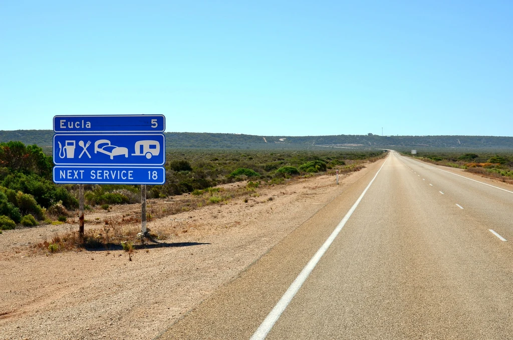
- Fuel before the long gaps rather than at the first warning light, particularly south of Narooma.
Questions riders ask
Is the coast route or the inland route better between Sydney and Melbourne?
They do different jobs. Transport for NSW describes the Princes Highway as a scenic alternative to the Hume Highway, and notes it is a popular motorcycling route. The Hume is the fast option; the Princes is the one with the coast, the national parks and the corners.
How long is the Princes Highway through New South Wales?
The section covered by Transport for NSW's corridor strategy is just over 422 kilometres, from the southern end of the M1 at Yallah, about 20 kilometres south of Wollongong, to the Victorian border south of Eden.
Where does the coast road slow down most?
The Kiama Bends drop from 100 to 80 km/h through tight curves, the Gerringong to Berry section is signposted at 80 to 90 km/h, and Batemans Bay to Mogo is limited to 90 km/h on a steep, winding alignment. Towns along the route are generally 60 to 70 km/h.
Sources
- Transport for NSW — Princes Highway Corridor Strategy (PDF) — transport.nsw.gov.au
- NSW National Parks — Royal National Park(nationalparks.nsw.gov.au)
- NSW National Parks — Jervis Bay National Park(nationalparks.nsw.gov.au)
- NSW National Parks — Beowa National Park(nationalparks.nsw.gov.au)
- Parks Victoria — Croajingolong National Park(parks.vic.gov.au)
- Wikipedia — Sea Cliff Bridge (Lawrence Hargrave Drive, opened 2005)(en.wikipedia.org)