The town at the centre
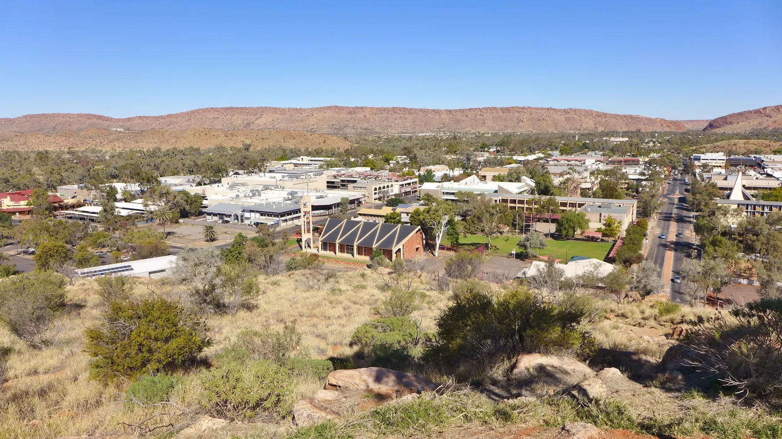
Alice Springs sits almost exactly in the middle of the continent, and the riding geography follows from that. The town is small, the next town is a long way in any direction, and the MacDonnell Ranges run east and west across the southern approach.
That makes the local riding unusually good for somewhere so remote: the ranges are cut by a series of gaps and gorges, each with a road into it, and the country between them is open desert with long sight lines.
The ranges themselves are the reason riders stop here rather than pass through. Tjoritja / West MacDonnell National Park stretches 161 kilometres west of Alice Springs, and its own guidance is explicit about the climate: temperatures across the Northern Territory can exceed forty degrees between October and April, and the heat in the Centre is dry rather than humid.
The wider Territory picture, including the Top End and the Stuart Highway, is in motorcycle rides in the Northern Territory.
- The West MacDonnell Ranges: the long gorge country west of town.
- The East MacDonnell Ranges: quieter, with the old mining country behind them.
- The Mereenie Loop: the unsealed link through to Kings Canyon and Uluru.
- The Stuart Highway: the only sealed route out, north and south.
The gaps and gorges
The MacDonnell Ranges are cut by water, and the gaps are the local set pieces. Each one has a road or a track into it, and the riding between them alternates between open desert straight and tight gorge road.
Tjoritja / West MacDonnell is where most riders spend their time. The park's own description calls the cool scenic gorges refuges for plants and animals unique to the area, which is exactly what a rider notices: the temperature drops and the country changes the moment you turn into one.
The gorge roads are short and usually dead ends, which makes them stops rather than routes. Plan the day around three or four rather than trying to string them into a loop.
- The western gorges: the classic run, each one a short detour off the main road.
- The eastern ranges: fewer riders, older country and old mining sites.
- Standley Chasm and the tighter gorge roads: short, dramatic and worth the stop.
- Water crossings: dry most of the year, running after rain, and impassable when they are.
The Mereenie Loop and the long roads
The Mereenie Loop — the unsealed Red Centre Way between Watarrka (Kings Canyon) and the West MacDonnell ranges — is the ride that most defines the area for adventure riders. It is unsealed, seasonal, and it needs a permit: the Northern Territory government states plainly that you need one to access this road.
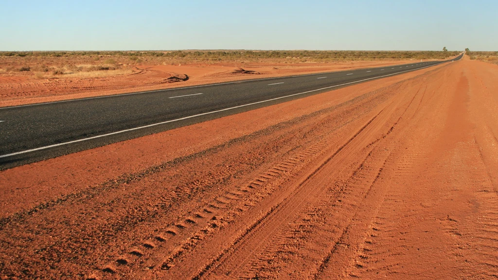
The other defining rides are the long sealed roads: the Stuart Highway north and south, and the highways out to the rock. These are not technical roads; they are distance roads, and the riding is about managing heat, fuel and wildlife rather than corners.
Wildlife is the real hazard on all of them. Kangaroos and cattle move at dawn and dusk, and on a road where you can see a hundred kilometres ahead the temptation is to ride fast into the hour when nothing can be seen at all.
- The Mereenie Loop / Red Centre Way: unsealed, seasonal, and permit-controlled.
- The road to Uluru: sealed, long and busy with tourist traffic.
- The Stuart Highway: the only way north or south, and a road train route.
- Dawn and dusk: the hours when wildlife is on the road and visibility is worst.
Heat, water and distance
The Centre's climate is the planning problem. The park service notes that NT temperatures can exceed forty degrees between October and April, and that the Centre's heat is dry while the Top End's is humid — both cause exhaustion and dehydration, but they feel different and they need different management.
The practical response is a riding day built around the cool hours, with the middle of the day spent off the bike, and water carried in quantity rather than as an afterthought. On a bike you cannot carry as much as a vehicle, which is what makes the planning harder.
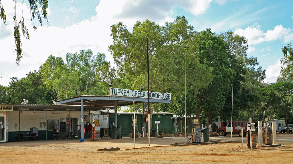
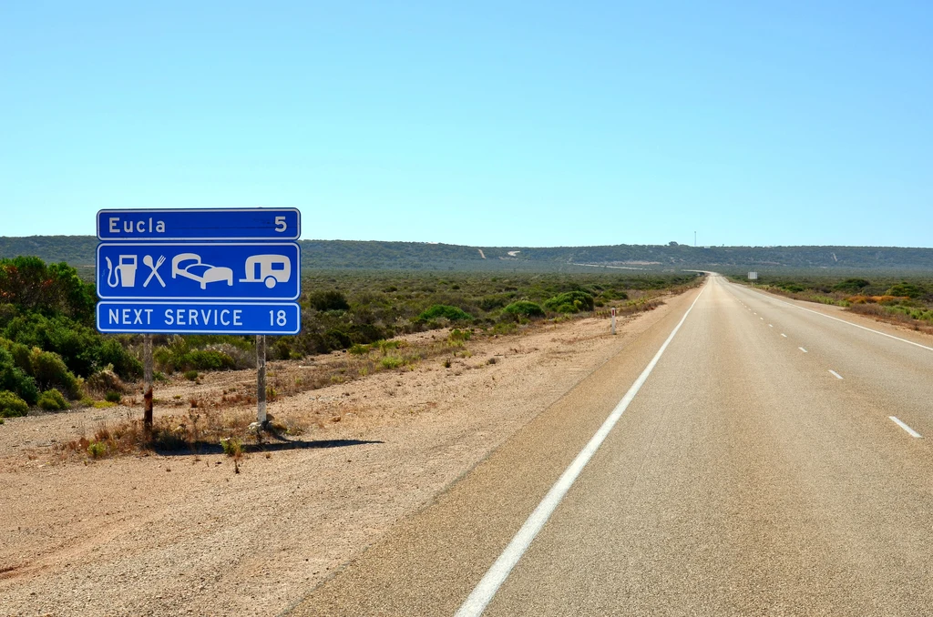
Fuel is the other constraint. The distances between services are real, and the state guide on outback fuel and water planning covers the arithmetic properly.
If the trip is a family one and the bikes are staying home, a campervan hired in Alice Springs carries the water and the fuel that a bike cannot.
- Ride early and late; stop through the middle of the day.
- Carry water in quantity, split across containers.
- Plan fuel around the gaps rather than assuming a stop will be open.
- Check road and park status before the Mereenie Loop.
Before you leave
Alice Springs rewards preparation more than most places, because the consequences of getting it wrong are larger. The two things that matter most are water and communication, followed closely by the condition of the roads you intend to take.
The state guide covers the Territory properly if you are riding further north or south, and the outback planning guide is worth reading in full before any of the unsealed routes.
- Carry more water than you think you need, in at least two containers.
- Tell someone your route and expected arrival time.
- Check the Mereenie Loop condition before committing.
- Fuel up whenever you can, not when you need to.
What is worth riding to
Tjoritja / West MacDonnell
The long western gorge country, with cool gaps cut into the ranges and short roads into each one.
East MacDonnell Ranges
Quieter range country east of town, with old mining sites and fewer riders.
Mereenie Loop
The unsealed desert link towards Kings Canyon, seasonal and condition-dependent.
Uluru and Kata Tjuta
The long sealed run south-west, busy with tourist traffic and worth the early start.
The Stuart Highway
The only sealed route out, north to Tennant Creek and south to Coober Pedy.
Kings Canyon
The destination at the end of the Mereenie Loop, with gorge country of its own.
Devils Marbles
Granite boulders north on the Stuart Highway, a natural stop on the long run.
Questions riders ask
What are the best motorcycle rides from Alice Springs?
The West and East MacDonnell Ranges for gorge country, the Mereenie Loop for unsealed desert riding, and the long sealed roads to Uluru and along the Stuart Highway.
Can you ride the Mereenie Loop on a motorcycle?
Yes, it is ridden on adventure bikes, but it is unsealed and permit-controlled — the NT government requires a permit to access it — and its condition changes with the season. Check both before committing.
When is the best time to ride around Alice Springs?
April to September. Temperatures across the Northern Territory can exceed forty degrees between October and April, and the Centre's heat is dry and severe.
How much water should I carry?
More than you think, split across at least two containers. A motorcycle carries less than a vehicle, which is what makes the planning harder than it looks.
Sources
- NT Government — Tjoritja / West MacDonnell National Park — nt.gov.au