The loop, and why anticlockwise
Tasmania rewards a loop more than any mainland state does. It is roughly the size of Ireland, the roads are mostly sealed, and the three regions it passes through — the east coast, the midlands and highlands, and the wet west — are genuinely different rides within a day of each other. If you are deciding this between Tasmania and a mainland route, when to ride, region by region explains why the island has the narrowest window of any Australian state.
Riding anticlockwise puts the east coast first, while you are fresh and the weather window is widest, and leaves the west coast rainforest for the back half. It also means arriving in Devonport on the ferry and heading straight down the Tamar and the east coast rather than climbing into the central highlands on your first tired evening.
That is a preference, not a rule. The stronger argument for anticlockwise is the wind: the west coast weather arrives from the Southern Ocean, and if a weather system is coming you would rather meet it on the way back to the ferry than three days out.
The loop is usually ridden over seven to ten days. Four days is a crossing, not a loop — you will spend most of it on the Midland and Bass highways.
Park passes decide your budget
Almost every place worth stopping in Tasmania is inside a national park, and a valid parks pass is required for entry to all of them. This is not a minor administrative detail: it is the single line item that most changes the cost of the trip.
The Parks and Wildlife Service publishes the current structure, and the Holiday Pass is the one a rider should look at first. It covers all Tasmanian national parks for up to two months and is priced per vehicle rather than per person, which suits a solo bike badly and a bike with a pillion considerably better. Read the published table and do the arithmetic for your own trip rather than assuming the multi-day pass is cheaper.
- A Daily Pass covers up to 24 hours per vehicle and explicitly excludes Cradle Mountain entry.
- The Cradle Mountain pass is bought separately, at the Cradle Mountain visitor centre.
- The Holiday Pass covers all parks for up to two months and does not include the Cradle Mountain shuttle bus.
- An Annual Park Pass covers all parks and includes up to two vehicles registered at the pass holder's address.
- The shuttle bus at Cradle Mountain is a separate cost whatever pass you hold.
The east coast: Freycinet and the Bay of Fires
The east coast is the easy half. The road runs close to the water, the towns are small and spaced comfortably, and the riding is quick without being boring.
Freycinet National Park is the stop that justifies the eastern leg: granite peaks above white sand, with Wineglass Bay the image everyone carries away. The park's main section is reached from Coles Bay, and the Friendly Beaches are a separately signposted turnoff on the Coles Bay Road, added to the park in 1992 and much quieter than the main car park.
Ride it as a morning. The walking at Freycinet is the point, and a rider who arrives at midday in summer joins a queue for a car park rather than a lookout.
- Coles Bay: the approach to the main section of Freycinet, and the last place to sort out supplies.
- Friendly Beaches: a signposted turnoff on the Coles Bay Road, white sand and empty compared with the main park.
- The east coast towns north of there: the Bay of Fires country, where the road stays close to the coast.
- St Helens: the northern end of the easy riding, and the point to check the forecast before turning west.
The centre, and Cradle Mountain
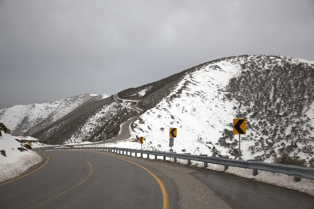
Turning west takes you across the midlands and then into the high country, and the character changes abruptly. This is where a summer ride becomes a cold-weather ride inside an hour, and where a waterproof layer stops being optional luggage.
Cradle Mountain sits in the Tasmanian Wilderness World Heritage Area, and the park's own description covers the range you will meet: ancient rainforest and river gorges, alpine moorland, glacial lakes and snow-covered peaks, with deep snowdrifts in winter. It is a place of all seasons rather than a summer destination with a bad month.
Access is managed. The visitor centre on Cradle Mountain Road is where the entry pass and the shuttle bus are handled, and cyclists and walkers are handled differently from vehicles, so check the current arrangements before you arrive rather than at the barrier.
- The visitor centre is the operational hub: opening hours vary through the year, so check them for your date.
- Snow and ice on the approaches are a real winter and shoulder-season constraint, not a rarity.
- The Overland Track starts here, which is why the car parks and the shuttle are busy in the walking season.
- The alpine sections can close at short notice for weather, which is worth knowing before you commit to a high route.
The west coast road
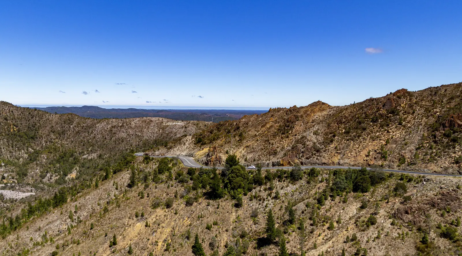
The west is the part riders remember. The road runs through rainforest and button-grass plains, past glacial lakes and through towns built on mining, and the weather is the price of the scenery.
This is the wettest part of the loop by a wide margin, and the wet arrives as horizontal rain rather than a shower. Two things follow: waterproofing that actually seals at the wrists and neck, and a willingness to shorten a day when the visibility drops rather than pushing to a planned stop.
Fuel is not scarce in the way it is on the mainland outback, but the towns are spaced and not all of them have a servo open late. Fill at every town on this leg as a habit rather than as a calculation.
- Queenstown and the mining country: the landscape is bare and strange and worth the stop.
- Strahan: the harbour town on Macquarie Harbour, and the usual overnight on the west coast.
- The rainforest sections: expect wet road under canopy long after the rain stops.
- The northern return to Devonport: the last leg, and the one most often ridden in the dark if the trip has run late.
Overnight walker registration applies to some walks in Tasmanian parks. If you are planning to break the ride with a walk, check the requirement for that specific track.
Getting there with the bike
Almost everyone arrives on the Spirit of Tasmania, and the crossing is part of the trip rather than a formality. Book the vehicle and the rider together, and book early in summer — a motorcycle takes a slot like any other vehicle and the popular sailings fill.
The practical consequence for a rider is that the loop starts and ends at Devonport, which fixes the geometry of the trip. It also means the first and last days are riding days on roads that are connectors rather than highlights, so plan them as transport and put the good riding in the middle.
What the loop asks of you
Tasmania is often described as a small island, and the distances are modest, but the loop is not a short ride. The roads twist, the weather slows you, and the parks reward stopping for half a day rather than photographing from the car park.
Budget the days by what you want to do off the bike, not by kilometres. A loop built around three or four park stops is a better trip than a loop built around the whole coastline at speed.
If a bed and a stove matter more than the bends on a given leg, a campervan hired in Hobart covers the same loop with the weather on the outside — a different trip, and a reasonable one for the west coast in particular.
- A waterproof layer that seals at the neck and wrists, checked before you leave rather than at Cradle Mountain.
- A park pass bought deliberately, after reading the current published table.
- Fuel discipline on the west coast: fill at every town.
- A flexible day or two, because the west coast weather will take one from you.
Questions riders ask
How long does the Tasmania loop take by motorcycle?
Most riders do it over seven to ten days. Four days is possible but leaves no room for the parks, and the west coast weather will claim part of any tight schedule.
Do I need a parks pass for Tasmania?
Yes. A valid parks pass is required for entry to all of Tasmania's national parks. The Parks and Wildlife Service publishes daily, holiday and annual options, and Cradle Mountain has its own entry pass and shuttle arrangement.
Is the west coast road suitable for a road bike?
Yes, it is sealed, but the weather is the constraint rather than the surface. Expect wet road under rainforest canopy and horizontal rain, and plan shorter days than the distance suggests.
Which direction should I ride the loop?
Anticlockwise, for most riders. It puts the east coast first while you are fresh and leaves the west coast weather for the return leg towards the ferry.
Sources
- Parks and Wildlife Service Tasmania — Parks passes and entry fees — parks.tas.gov.au
- Parks and Wildlife Service Tasmania — Cradle Mountain(parks.tas.gov.au)
- Parks and Wildlife Service Tasmania — Freycinet National Park(parks.tas.gov.au)
- Parks and Wildlife Service Tasmania — Know before you go(parks.tas.gov.au)