The two rides out of Broome
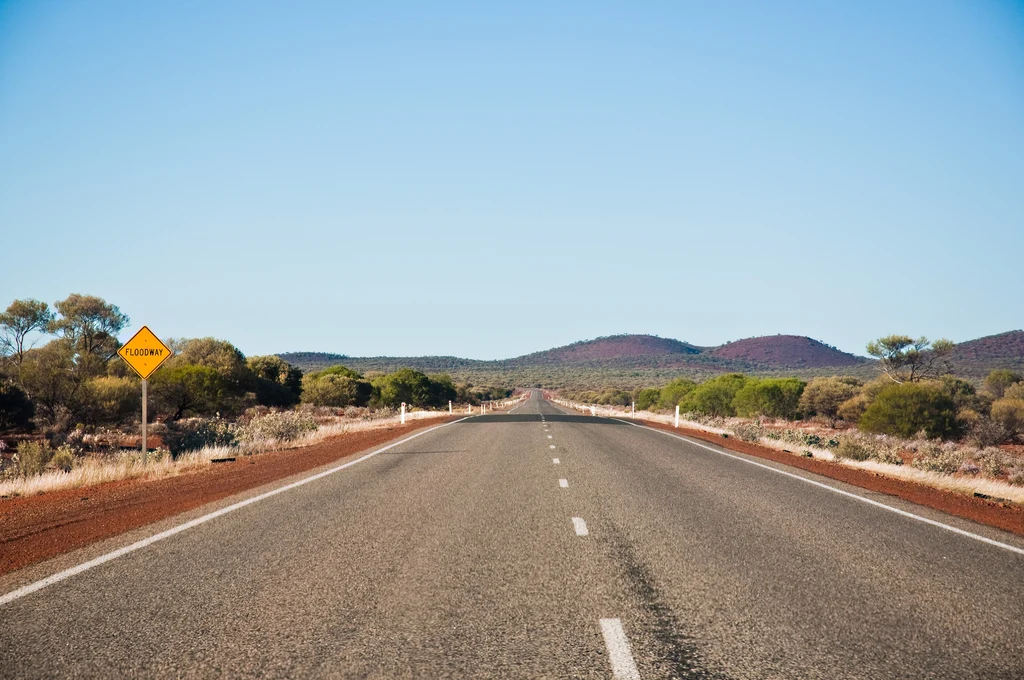
Broome has two defining rides and they are different in kind. North is the Dampier Peninsula: red pindan country, a road that is now sealed almost its whole length, and a coast that turns from the tourist beach at Cable Beach into something much emptier within an hour.
East and north-east is the Gibb River Road, the 647-kilometre route through the Kimberley between Derby and Kununurra. Main Roads Western Australia describes it as a mainly unsealed road, and it is a multi-day expedition rather than a ride.
Both are seasonal in the hardest sense. The Gibb is often closed through the wet season, which generally runs from December to April, and the peninsula road closes in the wet despite the sealing — it is flood-prone, not rough.
- The Dampier Peninsula: the day ride north, sealed to Cape Leveque.
- Cape Leveque: the destination at the end of the peninsula road.
- The Gibb River Road: 647 km between Derby and Kununurra, mainly unsealed, and a multi-day trip.
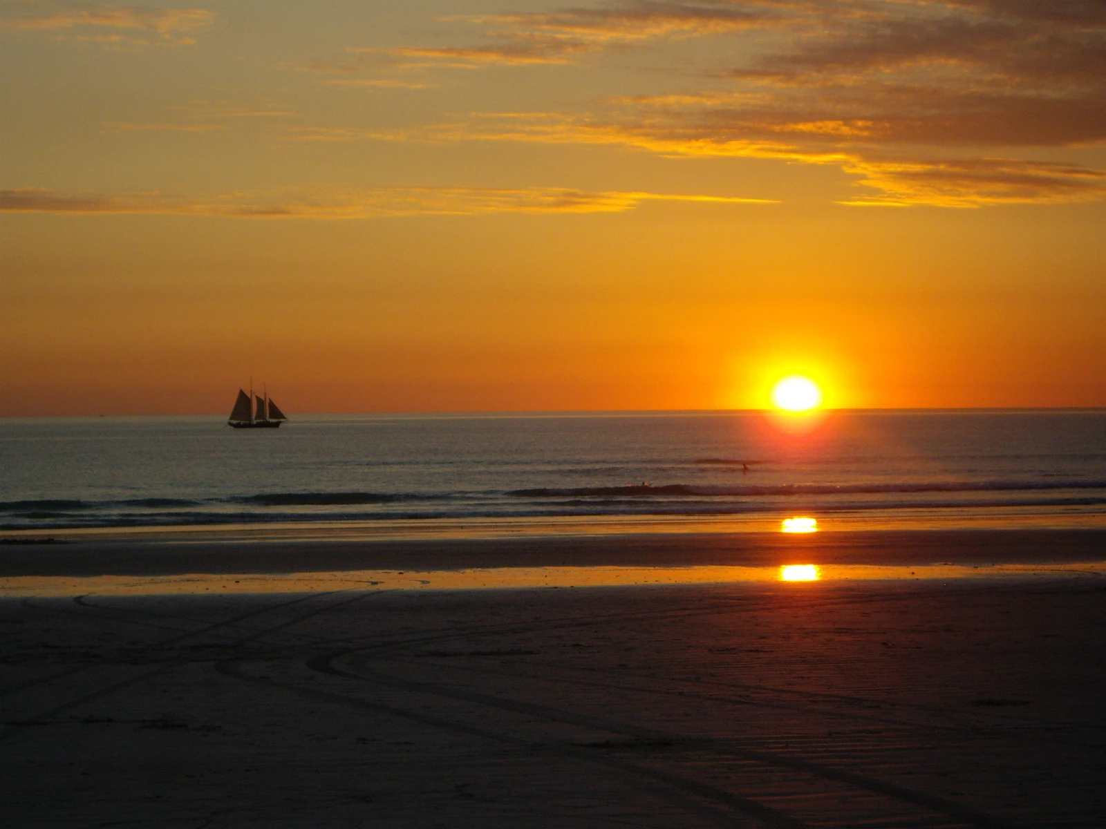
- Cable Beach: the town's own coast, and the easy end of the day.
North on the peninsula
The road north from Broome runs through pindan scrub — the low, dense, red-soil woodland that covers the peninsula — past small communities and on to the coast at Cape Leveque.
The sealing changed this ride. The Broome to Cape Leveque road is now sealed along its length, which makes it a genuine day ride on any bike rather than an adventure-bike outing. What has not changed is that it floods: the peninsula road closes in the wet season and isolates the communities along it, and upgrades through the 2020s have been aimed at all-weather access rather than at the surface alone.
Tide timing still matters more than the road in places. The coast here has big tidal ranges, and access to beaches and some side tracks depends on the tide rather than the clock.
- Pindan country: the red-soil scrub that defines the peninsula's look.
- A sealed road: the run north is now sealed, so any bike can do it in the dry.
- Wet-season closure: the road floods and closes, sealing or not.
- Tide timing: some coastal access depends on it rather than on the road.
Fuel on the peninsula is limited to a few communities. Fill in Broome and treat anything beyond as a bonus rather than a plan.
The Gibb River Road
The Gibb is the Kimberley's signature route and it deserves its reputation. It runs 647 kilometres between Derby and Kununurra, and Main Roads describes it as mainly unsealed — roughly 470 kilometres of it between the Lennard and Pentecost rivers.
Riding it on a motorcycle is a serious undertaking. The unsealed sections are graded three to four times a year and a full grade can take two months, so the surface varies along the road and deteriorates behind the grader. Corrugated, rocky gravel is normal.
It also carries restrictions that have nothing to do with your bike. The status boards and the Main Roads travel map can post the road as open to high-clearance 4WD only because of floodway conditions, and the road is often closed entirely through the wet.
The state guide covers the Gibb properly, including the Pilbara and the coast south, in motorcycle rides in Western Australia. This page is about knowing it exists and knowing it is not the same trip as the peninsula.
- 647 km Derby to Kununurra, mainly unsealed, with about 470 km between the Lennard and Pentecost unsealed.
- Graded only three or four times a year; a full grade can take two months.
- High-clearance 4WD restrictions can apply even when the road is open.
- Often closed December to April, and check the travel map rather than assuming.
The Kimberley season
The Kimberley runs on two seasons and only one of them is rideable. The dry season is the window, and the wet closes the roads and floods the crossings.
Main Roads puts the best time on the Gibb as early in the dry season, when the rivers and waterfalls are still running, and notes that it gets hotter and less comfortable later in the year. The trade-off is that side roads open later than the main route, so early in the season you may not get everywhere you planned.
The build-up — the weeks before the wet breaks — is the worst of both: high humidity, high heat and roads still legally open but deteriorating.
If the plan is a family trip with the bikes left at home, a campervan from Broome handles the peninsula and the Gibb with a bed and a water tank, which the Kimberley distances make attractive.
- Early dry season: water still running, some side roads still closed.
- Mid dry season: the most reliable conditions of the year.
- Late dry season: hotter, drier, and the gorges less comfortable on foot.
- The wet: often closed December to April, with flood damage to follow.
Before you leave
Broome is a small town at the edge of a very large region, and the preparation reflects that. Water, fuel, tyres and communication are the four things that decide whether a trip here goes well — on the peninsula the road is sealed but the fuel and water are still limited, and on the Gibb the surface is the problem.
The outback planning guide covers the arithmetic in detail, and the state guide covers the wider Western Australian picture including the Pilbara and the coast south.
- Check tyre pressures and condition before any unsealed road.
- Carry water in quantity, and more than the plan requires.
- Plan fuel around the known stops rather than hoping.
- Check road conditions before the peninsula and the Gibb.
What is worth riding to
Cape Leveque
The destination at the end of the peninsula road, where the pindan meets white sand and turquoise water.
Cable Beach
Broome's own coast, and the easy end to a riding day.
The Dampier Peninsula
Red pindan country and a partly unsealed road north, with tide-dependent coastal access.
The Gibb River Road
The Kimberley crossing: unsealed, remote and a multi-day expedition rather than a ride.
Windjana Gorge
Gorge country off the Gibb, with freshwater crocodiles and Devonian reef walls.
Karijini
The Pilbara's gorge country, a long way south and a destination in its own right.
The Pilbara coast
The long coastal run south towards Karratha and Exmouth.
Questions riders ask
Can you ride to Cape Leveque on a motorcycle?
Yes, in the dry season. The road north from Broome is now sealed along its length, so any bike can manage it, but it floods and closes in the wet and the peninsula is remote — plan fuel and water before leaving Broome.
When is the best time to ride around Broome?
The dry season, roughly May to October. The wet closes the peninsula road and the Gibb River Road, and the build-up before the wet is hot, humid and hard on roads.
Can you ride the Gibb River Road on a motorcycle?
It is done, but treat it as an expedition. It is 647 kilometres between Derby and Kununurra and mainly unsealed, graded only three or four times a year, and Main Roads can restrict it to high-clearance 4WD even when it is open.
Do I need permits for the Dampier Peninsula?
Some communities and coastal areas require permits or have access restrictions. Check before travelling rather than on arrival.
Sources
- Main Roads Western Australia — Gibb River Road — mainroads.wa.gov.au
- Building for Tomorrow WA — Broome Cape Leveque Road upgrades(buildingfortomorrow.wa.gov.au)
- Parks and Wildlife Service WA — Cape Range National Park(parks.dpaw.wa.gov.au)