Darwin as a starting point
Darwin sits at the northern end of the Stuart Highway, and that highway is the spine of any Northern Territory ride. From the city the highway runs south through Katherine and Tennant Creek to Alice Springs, and between those towns there is very little except roadhouses, rest areas and cattle country. If the Territory is one leg of a longer trip, planning a motorcycle trip in Australia covers the state-by-state paperwork that comes with crossing into it.
The climate decides the schedule. Temperatures across the Northern Territory between October and April can exceed 40 degrees, and the Top End's tropical summer is the season that closes roads and visitor sites. Sort the season out before you sort the route.
The NT Government's Road Report covers government roads and roads on Aboriginal land, and park agencies publish their own access pages. Check both the day before you ride, not the month before.
Litchfield and the Top End loop
Litchfield National Park covers about 1,500 square kilometres and is the most obvious day ride out of Darwin: waterfalls dropping into clear pools, magnetic termite mounds, and sandstone pillars that have weathered into shapes people travel a long way to photograph.
Inside the park the Reynolds Track runs out to Tjaynera Falls and Surprise Creek Falls, the Lost City and the Central Valley campground are reached on 4WD tracks, and Florence Falls and Wangi Falls carry campground hosts during the peak season from May to September. Those tracks are for high-clearance vehicles, so treat them as scenery you walk into rather than road you ride.
If you would rather carry a swag and a stove than pitch a tent every night, campervan hire in Darwin covers the same Top End loop in more comfort, though it will not get you any further up the 4WD tracks either.
- Visitors to the NT need an NT Parks Visitor Pass to enter most national parks and reserves, including Litchfield and Tjoritja / West MacDonnell.
- Camping and walking fees sit outside the pass and are paid separately.
- Carry more water than the distance suggests. Rest areas on the highway are not shops.
Kakadu access and the Arnhem Highway
Kakadu is managed by Parks Australia rather than the Northern Territory Government, so its park pass is separate from the NT Parks Visitor Pass, and it is valid for seven days. Prices change with the season: the dry season runs 15 May to 31 October and the tropical summer 1 November to 14 May, and the tropical summer pass is the cheaper of the two.
Access is the part that catches people out. In 2026 the whole Jim Jim and Twin Falls area, including Jim Jim Falls, Twin Falls gorge, the escarpment walk and Karnamarr campground, is closed. Maguk is also closed while crocodile management work continues. Old Jim Jim Road is open to 4WD vehicles only, with a maximum GVM of 4.5 tonne, and Gunlom was scheduled to close seasonally from 11 November 2026, with access along Gunlom Road restricted to high-clearance 4WD and no access to the plunge pool. Koolpin Gorge remains permit-only.
Moving between sites is the other constraint, and it is the reason the access report matters more than a map: a road can be open at the highway and closed at the gorge it leads to.
The Kakadu Access Report is updated daily and lists the status of every road, campground and visitor site, so it is worth checking even on a short visit.
South on the Stuart Highway
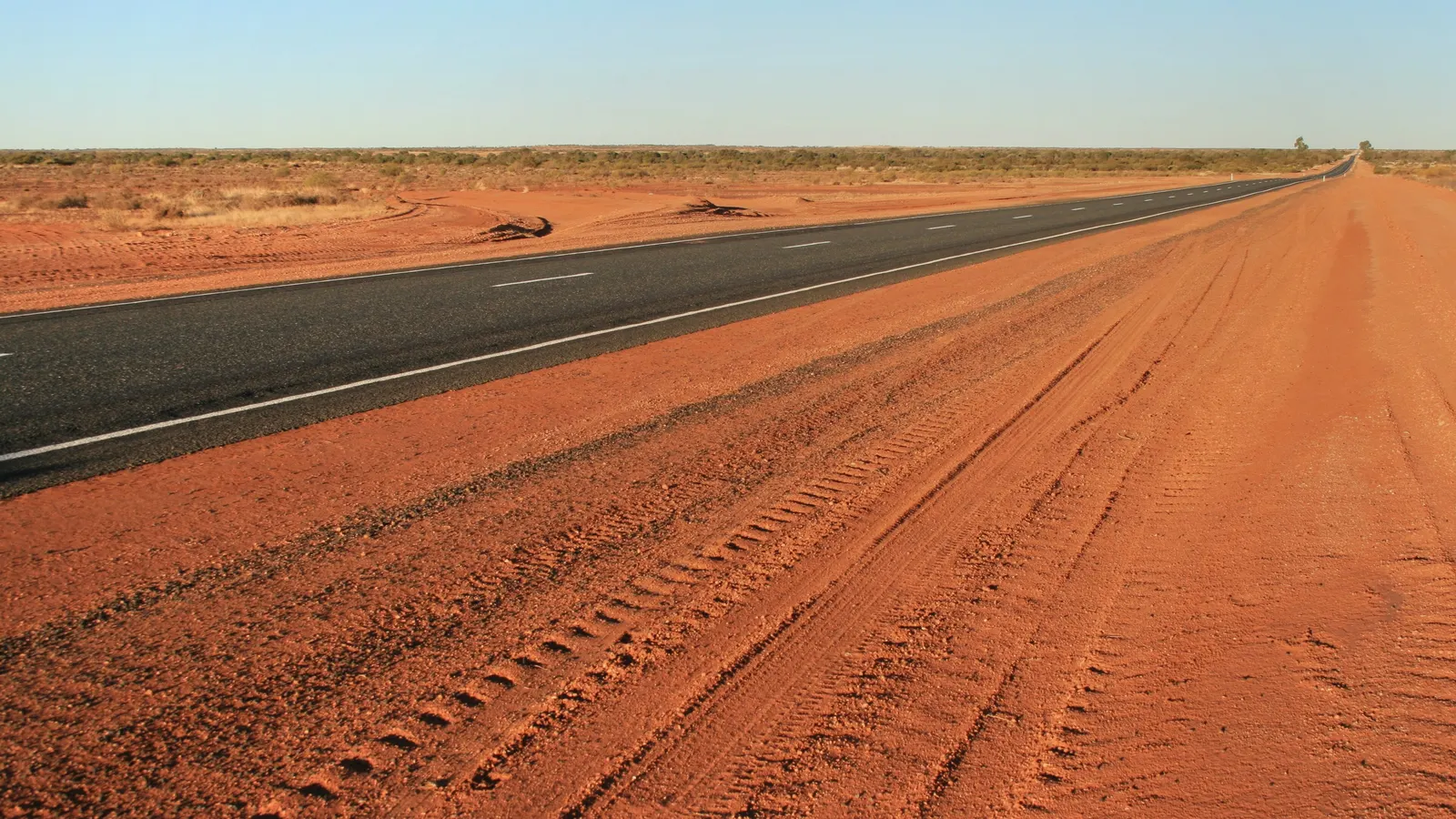
Once you leave the Top End behind, the ride south is about distance and heat rather than corners. The NT Government publishes the distances between the highway's rest areas, and the numbers make the point better than any description: from the King rest area, south of Katherine, the next town is Tennant Creek, 624 kilometres away.
| Rest area | Where it sits | Facilities |
|---|---|---|
| Bridge Creek | 146 km from Darwin, 169 km north of Katherine | Water, shelter, toilet, 24-hour overnight camping allowed |
| King | 46 km south of Katherine, 624 km north of Tennant Creek | Water, shelter, toilet, 24-hour overnight camping allowed |
| Attack Creek | 913 km from Darwin, 72 km north of Tennant Creek | Water, shelter, toilet, information bay, 24-hour overnight camping allowed |
| Bonney Well | 89 km south of Tennant Creek, 416 km north of Alice Springs | Water, shelter, 24-hour overnight camping allowed |
| Tropic of Capricorn | 1,461 km from Darwin, 29 km north of Alice Springs | Water, shelter, toilet, 24-hour overnight camping allowed |
The NT Government's own advice for long drives in the Territory is to plan a break every two hours.
Katherine, Tennant Creek and the long gaps
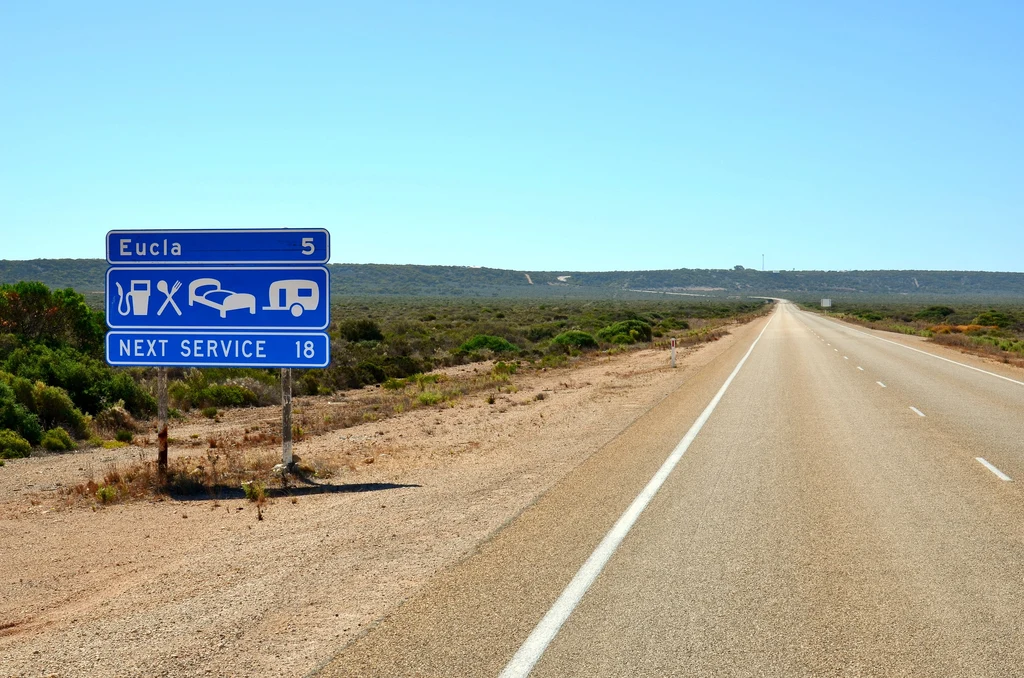
Katherine and Tennant Creek are the two towns that break this stretch, and the distance between them is the number that matters: 624 kilometres from the King rest area south of Katherine. Fuel, water and food planning are the whole exercise on this stretch, and the rest area tables are a better planning tool than a fuel app because they show you where the gaps actually fall.
The same logic applies south of Alice Springs. The NT / SA border rest area is listed 295 kilometres north of the border, with Desert Oaks the last stop 128 kilometres before it.
- Top up at every town, even when the tank is half full.
- Start early. Afternoon heat and wildlife around dawn and dusk are the two reasons riders stop moving.
- Ride with a plan for a breakdown: the NT's own road safety guide warns that help may not be possible for many hours, particularly at night.
Alice Springs and the MacDonnell Ranges
Tjoritja / West MacDonnell National Park stretches 161 kilometres west of Alice Springs, reached along Larapinta Drive and Namatjira Drive, and it is the best riding loop in Central Australia. Simpsons Gap, the Ochre Pits, Ellery Creek Big Hole, Ormiston Gorge, Redbank Gorge and Glen Helen sit along the same road system, with Standley Chasm privately operated and charging its own entry fee. If you are basing yourself rather than passing through, rides out of Alice Springs is the southern starting point.
The park requires the NT Parks Visitor Pass, the same as Litchfield at the other end of the highway. Heat is the constant theme: the park's own advice is that Territory temperatures between October and April can pass 40 degrees, and a waterhole is not a plan.
Cooler months are the working season for riders here, and the park notes that some sites close unexpectedly for fire, flooding or maintenance.
The Mereenie Loop and the road to Uluru
From Watarrka National Park, better known as Kings Canyon, riders reach Tjoritja on the unsealed Red Centre Way, which most people still call the Mereenie Loop. The park's own instructions are blunt: you need a permit to access this road. It is not a road to take on a whim, and it is not a road to take on tyres that are already worn.
Uluru-Kata Tjuta National Park needs its own pass, separate again from Kakadu's and from the NT parks pass, so a ride that takes in the Red Centre, the Top End and the rock involves three different pieces of paper.
Wet season closures and fuel planning
The Top End runs on two seasons. The dry season is given as 15 May to 31 October, and the tropical summer from 1 November to 14 May. Rainfall and flooding can make parts of Kakadu inaccessible through the tropical summer, and park sites are closed and reopened as conditions allow.
In Central Australia the pattern is different but the result is similar: extreme heat from October to April, and unsealed roads that change character with every storm. The arithmetic for that is set out in outback fuel, water and isolation, which is written for exactly these gaps.
- Ride the Top End parks in the dry season, and plan the Stuart Highway crossings either side of the worst heat.
- Buy the passes you need before you arrive, not at a gate.
- Treat every unsealed road as a decision, not a shortcut, and check its status the morning you plan to use it.
Fuel between towns is the single biggest planning constraint in the Territory, so build each day around the next guaranteed bowser rather than the next interesting stop.
Questions riders ask
Do I need a pass to ride in Northern Territory national parks?
Visitors to the NT need an NT Parks Visitor Pass for most national parks and reserves, including Litchfield and Tjoritja / West MacDonnell. Camping and walking fees are paid on top. Kakadu and Uluru-Kata Tjuta are managed by Parks Australia and need their own separate passes.
Is the Mereenie Loop sealed?
No. Tjoritja / West MacDonnell National Park describes the Red Centre Way, also called the Mereenie Loop, as unsealed between Watarrka National Park and the West MacDonnell Ranges, and states that a permit is required to access the road.
When is the best time to ride the Top End?
Kakadu's dry season is given as 15 May to 31 October and its tropical summer as 1 November to 14 May, when passes are cheaper. Rainfall and flooding can make parts of the park inaccessible through the tropical summer, and site closures are common.
How big are the fuel gaps on the Stuart Highway?
They are large enough to plan around. The NT Government's rest area tables list the King rest area, 46 kilometres south of Katherine, as having Tennant Creek as its nearest town to the south, 624 kilometres away.
Sources
- NT.GOV.AU — Road rest stops in NT — nt.gov.au
- NT.GOV.AU — Tjoritja / West MacDonnell National Park(nt.gov.au)
- NT.GOV.AU — Litchfield National Park(nt.gov.au)
- Kakadu National Park (Parks Australia) — Park passes(kakadu.gov.au)
- Kakadu National Park (Parks Australia) — Kakadu Access Report(kakadu.gov.au)