The mountain and the valley
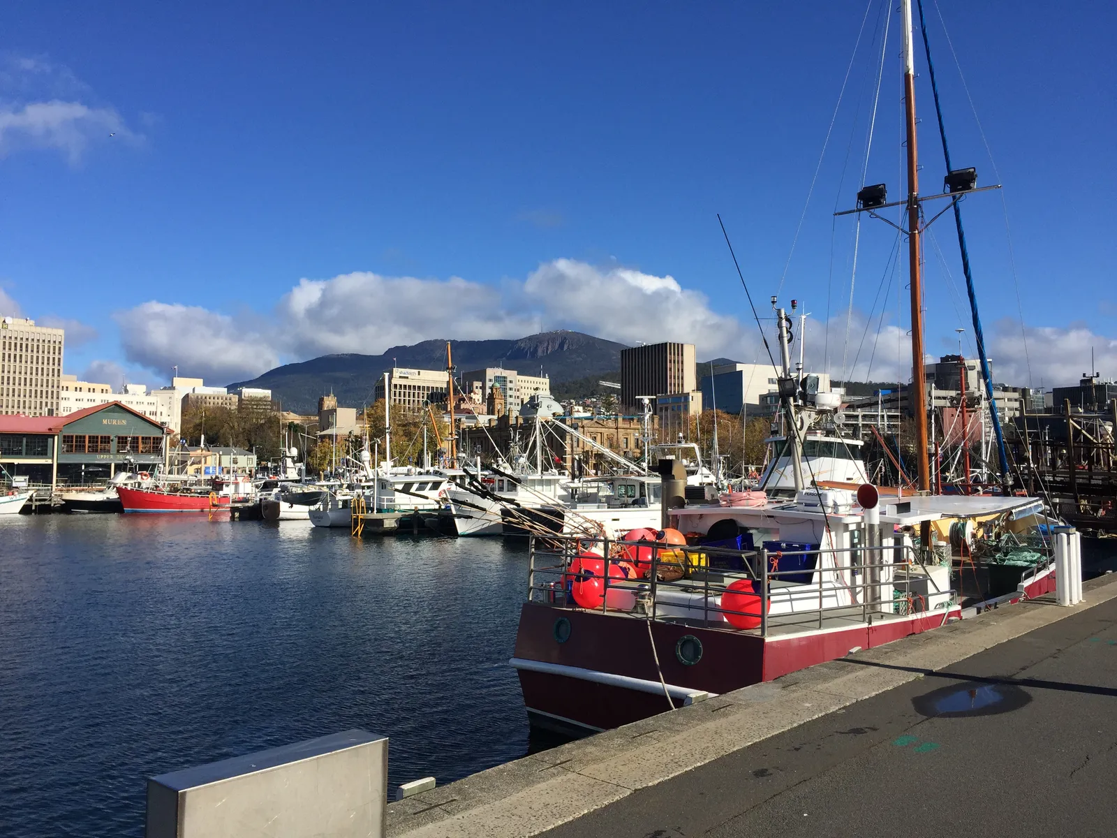
Hobart is built around a mountain and at the mouth of a river, which gives it a riding geography that starts immediately. Mount Wellington — kunanyi — rises behind the city, and the road to the summit is one of the few in Australia that goes from sea level to alpine conditions in half an hour.
South of the city, the Huon Valley runs through orchard country and forest towards the southern coast, with the channel on one side and the Hartz Mountains inland. It is the closest thing Hobart has to a touring route and it works as a day ride or a slow weekend.
The Derwent Valley runs inland to the north-west, through hop country and old hydro towns, and it is the link towards the central highlands and the west.
The island as a whole, including the ferry and the loop, is covered in the Tasmania motorcycle loop.
- kunanyi / Mount Wellington: the summit road, cold and exposed at the top.
- The Huon Valley: orchard country and forest south of the city.
- The D'Entrecasteaux Channel: the coastal road down the western side of the Huon.
- The Derwent Valley: inland towards New Norfolk and the highlands.
The Tasman Peninsula
East of the city, the Tasman Peninsula is reached through the narrow isthmus at Eaglehawk Neck and opens into a coastline of cliffs, sea stacks and forest. Tasman National Park covers the peninsula's southern end, with the coastal landforms that everyone comes for.
It is a short ride from Hobart and a completely different landscape from the Huon, which is the reason it is the standard day trip. The roads are quiet, the towns are small, and the coastal sections are genuinely exposed.
The park also sits in the fire-prone eastern part of the state. Seasonal campfire bans apply on reserved land across much of eastern Tasmania, including the Tasman and Huon Valley municipalities, ahead of the bushfire season — which tells you something about how dry this side of the island gets.
- Eaglehawk Neck: the isthmus, and the gate to the peninsula.
- Tasman National Park: cliffs, sea stacks and coastal forest at the southern end.
- Port Arthur: the historic site, and the peninsula's main destination.
- Fire restrictions: seasonal campfire bans apply across eastern Tasmania in the drier months.
The west coast road
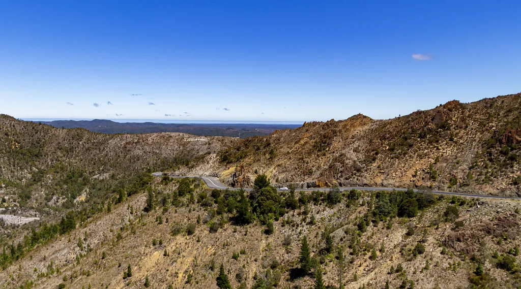
The west coast is the reason Tasmania rewards riders who are prepared to travel. From Hobart it is a long run through the central highlands to Queenstown and Strahan, and the country changes from dry eucalypt to temperate rainforest within an hour of the last town.
This is one of the wettest places in Australia, and the road reflects it: wet under canopy, exposed across the button-grass plains, and with weather that arrives from the Southern Ocean without anything in the way.
It is a full day from Hobart in good conditions and a very long one in bad. Riders who treat it as a day trip usually wish they had not.
If the plan is to do the west coast in comfort rather than on two wheels, a campervan hired in Hobart is the usual answer, and the weather makes it a reasonable one.
- The Central Highlands: the high, cold country between Hobart and the west.
- Queenstown: the mining town in the bare, strange landscape the west is known for.
- Strahan: the harbour town on Macquarie Harbour and the usual overnight stop.
- Rainforest and plains: wet road under canopy, then exposed crossing country.
The riding year
Tasmania's riding year is narrower than any mainland state. Summer days are long and mild rather than hot, autumn is settled and colourful, and winter is genuinely cold with snow on the high country and short days.
The east coast and the south-east suit a wider window than the west, which is the wettest part of the island and the part most affected by weather. That asymmetry is the thing to plan around: you can ride the Huon and the Tasman Peninsula in conditions that would make the west coast a bad idea.
Rain days peak in late winter rather than falling with the temperature, which is worth knowing if you are trying to pick a window.
- Summer: the longest and mildest days, and the peak for the west coast.
- Autumn: settled weather and the best light of the year.
- Winter: rideable in the south-east, hostile on the west, with snow in the highlands.
- Spring: changeable, with rain days still high.
Before you leave
Hobart's prep list is short and specific. The weather is the variable, the west coast is the commitment, and the parks pass is the thing most visitors forget until they reach a barrier.
The state guide covers the island as a whole, including the loop and the ferry, and it is worth reading before you plan anything that crosses to the west coast.
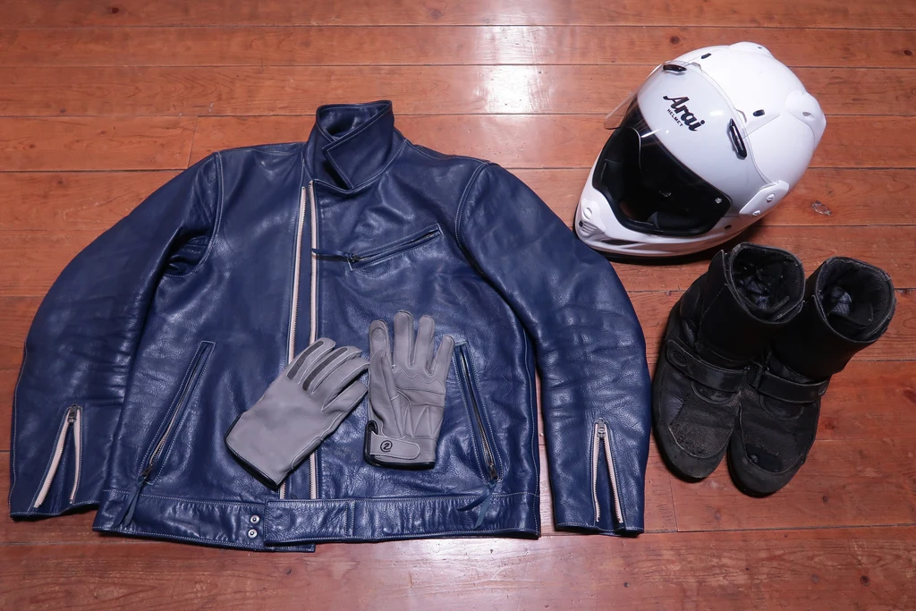
- Carry a proper waterproof layer, not a shower jacket.
- Buy a parks pass before you need one; it is required for all Tasmanian national parks.
- Treat the west coast as a two-day run from Hobart, not a day ride.
- Check the fire restrictions in the eastern parks in the drier months.
What is worth riding to
kunanyi / Mount Wellington
The summit road behind the city, going from sea level to alpine conditions in half an hour.
Huon Valley
Orchard country and forest south of the city, the standard Hobart day ride.
Tasman Peninsula
Cliffs, sea stacks and coastal forest east of the city, reached through Eaglehawk Neck.
Tasman National Park
The peninsula's southern end, with the coastal landforms the area is known for.
The west coast road
Queenstown, Strahan and the rainforest country, a long day or a two-day run.
Cradle Mountain
The alpine centre of the island, with its own entry pass and shuttle arrangement.
Freycinet
Granite peaks and white sand on the east coast, on the way north towards the ferry.
Questions riders ask
What are the best motorcycle rides from Hobart?
The Huon Valley south of the city, the Tasman Peninsula to the east, the Derwent Valley inland, and the west coast road to Queenstown and Strahan as a longer trip.
Do I need a parks pass in Tasmania?
Yes. A valid parks pass is required for entry to all of Tasmania's national parks, with daily, holiday and annual options published by the Parks and Wildlife Service.
How long does the west coast road take from Hobart?
It is a full day in good conditions and a long one in bad weather. Most riders treat it as a two-day run with a night on the west coast rather than a day trip.
When is the best time to ride around Hobart?
Summer and early autumn. Days are long and mild, and the west coast weather is at its most settled. Winter is rideable in the south-east but hostile on the west.
Sources
- Parks and Wildlife Service Tasmania — Parks passes and entry fees — parks.tas.gov.au
- Parks and Wildlife Service Tasmania — Tasman National Park(parks.tas.gov.au)
- Parks and Wildlife Service Tasmania — Cradle Mountain(parks.tas.gov.au)