The cape, and the one road
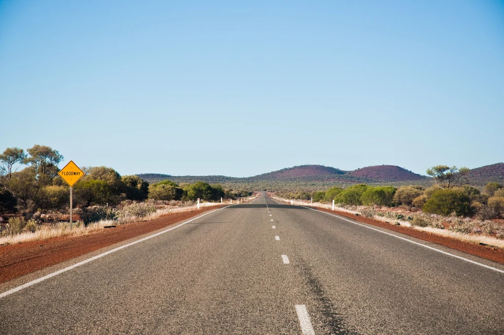
Exmouth sits at the base of the North West Cape, and the riding geography is simple in a way that is unusual even for Western Australia. The Cape Range road runs north from town along the peninsula, with the reef on the west and the gulf on the east, and there is essentially nothing else.
That is the appeal. Cape Range National Park is described by the state parks service as raw, natural and part of the Ningaloo Coast World Heritage Area, and the road through it runs between limestone range country and one of the clearest stretches of water in Australia.
The other road that matters is the one out: the Minilya–Exmouth Road south-east to the North West Coastal Highway, which is the only sealed connection to the rest of the state.
- The Cape Range road: the peninsula run, with the reef on one side and the range on the other.
- Ningaloo: the reef and the coast that gives the park its World Heritage status.
- The Minilya–Exmouth Road: the only sealed way in and out.
- The Burkett Road junction: the inland link towards Karijini and the Pilbara.
Cape Range National Park
Cape Range is the reason riders come. The park covers the limestone range along the western side of the cape, and its own description is unusually direct: raw, natural, nature at its best, part of the Ningaloo Coast World Heritage Area.
The park's Traditional Owners are the Baiyungu, Thalanyji and Yinigurdira people, and the country they describe is one of the driest coastlines on the continent — which is why the contrast with the reef is so striking.
Access is by sealed road to the main sites, with entry fees and a booking system for camping. It is not a park you ride through quickly; the speed limits are low and the wildlife on the road is real.
The cape is one section of a much longer state route, and motorcycle rides in Western Australia follows the coast south from here to Perth.
- The gorge country in the range: the park's inland side, with walking access.
- The coastal campsites: booked through the parks service, and busy in season.
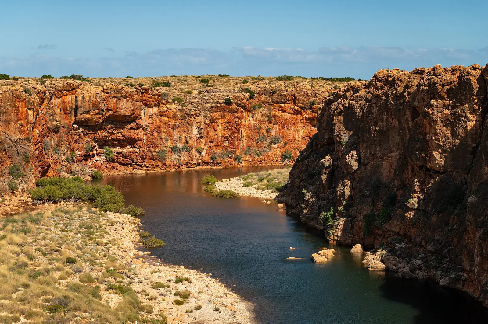
- Yardie Creek and the southern end: where the range meets the gulf.
- Wildlife on the road: emus and kangaroos are common and the speed limits reflect it.
Karijini and the inland
East of Exmouth, the Burkett Road links across to the inland highway and the Pilbara, and Karijini National Park is the destination at the end of it. The parks service describes Karijini as breathtaking, rugged and a highlight of visiting Western Australia, and the gorge country genuinely is.
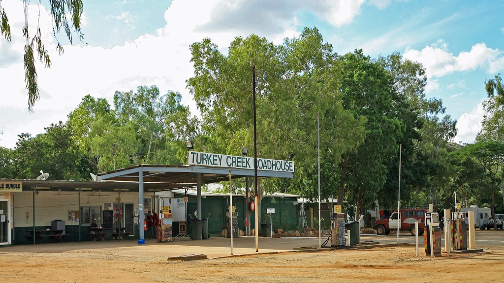
It is also a long way from anywhere. The run from Exmouth to Karijini crosses the Pilbara's interior, and the fuel stops are spaced in a way that requires planning rather than assumption.
The Banyjima, Innawonga and Kurrama people are the Traditional Owners of Karijini, and the gorge country has cultural significance as well as the walking that everyone comes for.
- The Burkett Road: the inland link from the cape towards the Pilbara.
- Karijini National Park: gorge country in the Hamersley Range, and the region's other great destination.
- The Pilbara interior: long, hot and empty, with spaced fuel stops.
- Tom Price and Paraburdoo: the service towns for the inland run.
Heat, seasons and the north-west
The north-west runs on a different calendar from the south of the state. Summer is hot to the point of being dangerous, the station towns empty out, and the parks operate on reduced services.
The riding season is the dry months: roughly April to September, when the days are warm rather than brutal and the nights are cool. Winter is the peak, and the cape fills up accordingly.
Cyclone season is a separate consideration. The north-west coast is in the cyclone belt, and a system in the region closes roads and parks with little notice.
If the trip is a family one with snorkelling gear rather than panniers, a campervan hired in Exmouth is the usual way to do the cape and the coast in one go.
- April to September: the riding window, with winter the peak.
- Summer: severe heat, reduced services, and not a riding season.
- Cyclone season: closures with little notice on the north-west coast.
- Fuel spacing: the long gaps are the planning problem, not the roads.
Before you leave
Exmouth is remote even by Western Australian standards, and the preparation reflects that. Water, fuel, tyres and communication are the four things that matter, and the distances to the next town are measured in hours rather than minutes.
The state guide covers the WA coast properly, including the run south to Perth and north to Broome, and the outback planning guide covers the fuel and water arithmetic.
- Carry water in quantity; the cape is dry and the towns are small.
- Plan fuel around the known stops on the inland run.
- Check for cyclone activity in the season.
- Expect wildlife on the cape road and respect the low limits.
What is worth riding to
Cape Range National Park
Limestone range and World Heritage reef coast, with sealed access to the main sites.
Ningaloo coast
The reef and the coastline that gives the park its World Heritage listing.
Yardie Creek
Where the range meets the gulf at the southern end of the cape.
Karijini
Gorge country in the Hamersley Range, reached via the Burkett Road and the inland highway.
The Burkett Road
The inland link from the cape towards the Pilbara and Karijini.
Coral Bay
The other reef town south of the cape, smaller and quieter than Exmouth.
Karratha
The Pilbara service town, and the fuel stop on the long coastal run.
Questions riders ask
What are the best motorcycle rides from Exmouth?
The Cape Range road along the peninsula for the reef and the range, and the inland run via the Burkett Road towards Karijini and the Pilbara.
When is the best time to ride around Exmouth?
April to September. Summer heat on the cape is severe, services reduce, and the north-west coast is in the cyclone belt.
Do I need to book camping in Cape Range National Park?
Yes. Camping is booked through the Western Australian parks service and the coastal sites are busy in season.
How far is Karijini from Exmouth?
It is a long inland run across the Pilbara with spaced fuel stops. Plan it as a full day with a fuel and water plan rather than a spur-of-the-moment detour.
Sources
- Parks and Wildlife Service WA — Cape Range National Park — parks.dpaw.wa.gov.au
- Parks and Wildlife Service WA — Karijini National Park(parks.dpaw.wa.gov.au)